logo
Product categories

EbookNice.com

Most ebook files are in PDF format, so you can easily read them using various software such as Foxit Reader or directly on the Google Chrome browser.
Some ebook files are released by publishers in other formats such as .awz, .mobi, .epub, .fb2, etc. You may need to install specific software to read these formats on mobile/PC, such as Calibre.

Please read the tutorial at this link.  https://ebooknice.com/page/post?id=faq


We offer FREE conversion to the popular formats you request; however, this may take some time. Therefore, right after payment, please email us, and we will try to provide the service as quickly as possible.


For some exceptional file formats or broken links (if any), please refrain from opening any disputes. Instead, email us first, and we will try to assist within a maximum of 6 hours.

EbookNice Team
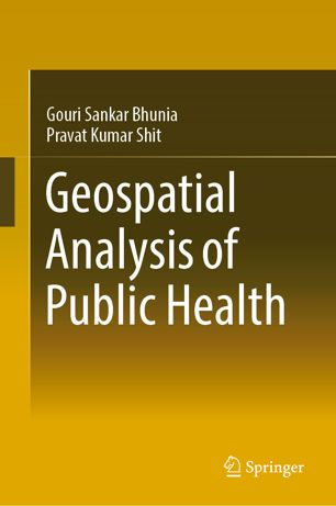
(Ebook) Geospatial Analysis of Public Health by Gouri Sankar Bhunia, Pravat Kumar Shit ISBN 9783030016791, 9783030016807, 303001679X, 3030016803

  • SKU: EBN-7320602
Zoomable Image
$ 32 $ 40 (-20%)

Status:

Available

4.5

18 reviews
Instant download (eBook) Geospatial Analysis of Public Health after payment.
Authors:Gouri Sankar Bhunia, Pravat Kumar Shit
Year:2019
Editon:1st ed.
Publisher:Springer International Publishing
Language:english
File Size:7.85 MB
Format:pdf
ISBNS:9783030016791, 9783030016807, 303001679X, 3030016803
Categories: Ebooks

Product desciption

(Ebook) Geospatial Analysis of Public Health by Gouri Sankar Bhunia, Pravat Kumar Shit ISBN 9783030016791, 9783030016807, 303001679X, 3030016803

This book is specifically designed to serve the community of postgraduates and researchers in the fields of epidemiology, health GIS, medical geography, and health management. It starts with the basic concepts and role of remote sensing, GIS in Kala-azar diseases. The book gives an exhaustive coverage of Satellite data, GPS, GIS, spatial and attribute data modeling, and geospatial analysis of Kala-azar diseases. It also presents the modern trends of remote sensing and GIS in health risk assessment with an illustrated discussion on its numerous applications.
*Free conversion of into popular formats such as PDF, DOCX, DOC, AZW, EPUB, and MOBI after payment.

Related Products