logo
Product categories

EbookNice.com

Most ebook files are in PDF format, so you can easily read them using various software such as Foxit Reader or directly on the Google Chrome browser.
Some ebook files are released by publishers in other formats such as .awz, .mobi, .epub, .fb2, etc. You may need to install specific software to read these formats on mobile/PC, such as Calibre.

Please read the tutorial at this link.  https://ebooknice.com/page/post?id=faq


We offer FREE conversion to the popular formats you request; however, this may take some time. Therefore, right after payment, please email us, and we will try to provide the service as quickly as possible.


For some exceptional file formats or broken links (if any), please refrain from opening any disputes. Instead, email us first, and we will try to assist within a maximum of 6 hours.

EbookNice Team
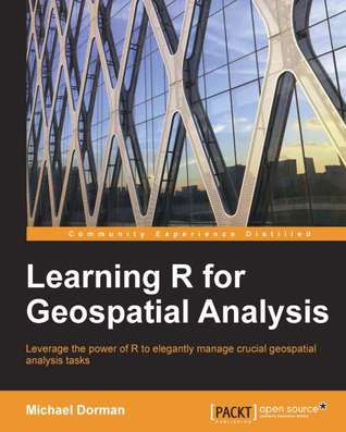
(Ebook) Learning R for Geospatial Analysis: Leverage the Power of R to Elegantly Manage Crucial Geospatial Analysis Tasks by Michael Dorman ISBN 9781783984367, 1783984368

  • SKU: EBN-7121910
Zoomable Image
$ 32 $ 40 (-20%)

Status:

Available

4.4

40 reviews
Instant download (eBook) Learning R for Geospatial Analysis: Leverage the Power of R to Elegantly Manage Crucial Geospatial Analysis Tasks after payment.
Authors:Michael Dorman
Pages:364 pages.
Year:2014
Editon:1
Publisher:Packt Publishing
Language:english
File Size:5.83 MB
Format:pdf
ISBNS:9781783984367, 1783984368
Categories: Ebooks

Product desciption

(Ebook) Learning R for Geospatial Analysis: Leverage the Power of R to Elegantly Manage Crucial Geospatial Analysis Tasks by Michael Dorman ISBN 9781783984367, 1783984368

R is a simple, effective, and comprehensive programming language and environment that is gaining ever-increasing popularity among data analysts. This book provides you with the necessary skills to successfully carry out complete geospatial data analyses, from data import to presentation of results. Learning R for Geospatial Analysis is composed of step-by-step tutorials, starting with the language basics before proceeding to cover the main GIS operations and data types. Visualization of spatial data is vital either during the various analysis steps and/or as the final product, and this book shows you how to get the most out of R's visualization capabilities. The book culminates with examples of cutting-edge applications utilizing R's strengths as a statistical and graphical tool.
*Free conversion of into popular formats such as PDF, DOCX, DOC, AZW, EPUB, and MOBI after payment.

Related Products