logo
Product categories

EbookNice.com

Most ebook files are in PDF format, so you can easily read them using various software such as Foxit Reader or directly on the Google Chrome browser.
Some ebook files are released by publishers in other formats such as .awz, .mobi, .epub, .fb2, etc. You may need to install specific software to read these formats on mobile/PC, such as Calibre.

Please read the tutorial at this link.  https://ebooknice.com/page/post?id=faq


We offer FREE conversion to the popular formats you request; however, this may take some time. Therefore, right after payment, please email us, and we will try to provide the service as quickly as possible.


For some exceptional file formats or broken links (if any), please refrain from opening any disputes. Instead, email us first, and we will try to assist within a maximum of 6 hours.

EbookNice Team
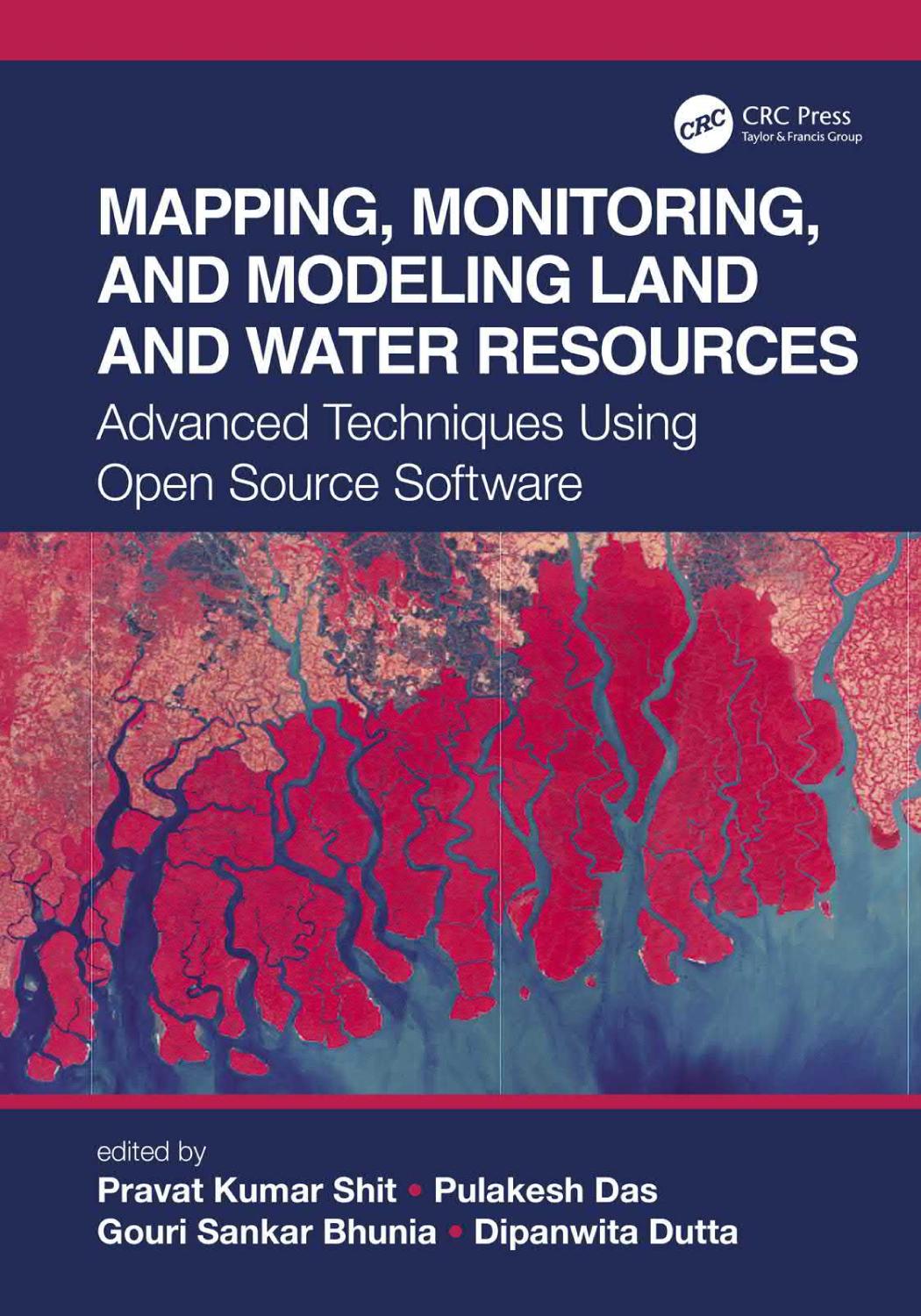
(Ebook) Mapping, Monitoring, and Modeling Land and Water Resources: Advanced Techniques Using Open Source Software by Pravat Kumar Shit (editor), Pulakesh Das (editor), Gouri Sankar Bhunia (editor), Dipanwita Dutta (editor) ISBN 9780367486839, 0367486830

  • SKU: EBN-33562134
Zoomable Image
$ 32 $ 40 (-20%)

Status:

Available

4.7

13 reviews
Instant download (eBook) Mapping, Monitoring, and Modeling Land and Water Resources: Advanced Techniques Using Open Source Software after payment.
Authors:Pravat Kumar Shit (editor), Pulakesh Das (editor), Gouri Sankar Bhunia (editor), Dipanwita Dutta (editor)
Pages:348 pages.
Year:2021
Editon:1
Publisher:CRC Press
Language:english
File Size:8.62 MB
Format:pdf
ISBNS:9780367486839, 0367486830
Categories: Ebooks

Product desciption

(Ebook) Mapping, Monitoring, and Modeling Land and Water Resources: Advanced Techniques Using Open Source Software by Pravat Kumar Shit (editor), Pulakesh Das (editor), Gouri Sankar Bhunia (editor), Dipanwita Dutta (editor) ISBN 9780367486839, 0367486830

The wide range of challenges in studying Earth system dynamics due to uncertainties in climate change and complex interference from human activities is creating difficulties in managing land and water resources and ensuring their sustainable use. Mapping, Monitoring, and Modeling Land and Water Resources brings together real-world case studies accurately surveyed and assessed through spatial modeling. The book focuses on the effectiveness of combining remote sensing, geographic information systems, and R. The use of open source software for different spatial modeling cases in various fields, along with the use of remote sensing and geographic information systems, will aid researchers, students, and practitioners to understand better the phenomena and the predictions by future analyses for problem-solving and decision-making.
*Free conversion of into popular formats such as PDF, DOCX, DOC, AZW, EPUB, and MOBI after payment.

Related Products