logo
Product categories

EbookNice.com

Most ebook files are in PDF format, so you can easily read them using various software such as Foxit Reader or directly on the Google Chrome browser.
Some ebook files are released by publishers in other formats such as .awz, .mobi, .epub, .fb2, etc. You may need to install specific software to read these formats on mobile/PC, such as Calibre.

Please read the tutorial at this link.  https://ebooknice.com/page/post?id=faq


We offer FREE conversion to the popular formats you request; however, this may take some time. Therefore, right after payment, please email us, and we will try to provide the service as quickly as possible.


For some exceptional file formats or broken links (if any), please refrain from opening any disputes. Instead, email us first, and we will try to assist within a maximum of 6 hours.

EbookNice Team
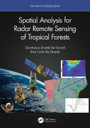
(Ebook) Spatial Analysis for Radar Remote Sensing of Tropical Forests by Gianfranco D. De Grandi, Elsa Carla De Grandi ISBN 9780367259402, 9780367742669, 9780429290657, 0367259400, 0367742667, 0429290659, 2020049160

  • SKU: EBN-23720032
Zoomable Image
$ 32 $ 40 (-20%)

Status:

Available

5.0

38 reviews
Instant download (eBook) Spatial Analysis for Radar Remote Sensing of Tropical Forests after payment.
Authors:Gianfranco D. De Grandi, Elsa Carla De Grandi
Year:2021
Editon:1
Publisher:CRC Press
Language:english
File Size:14.21 MB
Format:pdf
ISBNS:9780367259402, 9780367742669, 9780429290657, 0367259400, 0367742667, 0429290659, 2020049160
Categories: Ebooks

Product desciption

(Ebook) Spatial Analysis for Radar Remote Sensing of Tropical Forests by Gianfranco D. De Grandi, Elsa Carla De Grandi ISBN 9780367259402, 9780367742669, 9780429290657, 0367259400, 0367742667, 0429290659, 2020049160

Spatial Analysis for Radar Remote Sensing of Tropical Forests is based on the authors’ extensive involvement in Synthetic Aperture Radar (SAR) mapping projects, targeting the health of an earth ecosystem with great relevance for climate change studies: the tropical forests. The subject is developed from a vantage point provided by analysis in a combined space, scale (frequency), time, wavelength, polarization domain. The combination of space and scale offers the capability to zoom in and out like a virtual microscope to the resolution in tune with the underlying ecological phenomenon. It also enables statistical measures (correlations) related to the forest spatial distribution in case of backscatter, or to the canopy height variations in case of interferometric observations. The time dimension brings into play measures of the ecosystem dynamics, such as the flooding extent in the swamp forests, deforestation or degradation events. Wavelength and polarization agility extend the abovementioned capabilities by radar observations that are in tune with particular characteristics of the forest and terrain layers. The book’s spotlight is on radar spatial random fields, these being populated by either backscatter observations or elevation data from interferometric SAR. The basic tenet here is that the spatial statistic of the fields measured by the wavelet variance (in stationary or non-stationary situations) carries fingerprints of the forest structure.
*Free conversion of into popular formats such as PDF, DOCX, DOC, AZW, EPUB, and MOBI after payment.

Related Products