logo
Product categories

EbookNice.com

Most ebook files are in PDF format, so you can easily read them using various software such as Foxit Reader or directly on the Google Chrome browser.
Some ebook files are released by publishers in other formats such as .awz, .mobi, .epub, .fb2, etc. You may need to install specific software to read these formats on mobile/PC, such as Calibre.

Please read the tutorial at this link.  https://ebooknice.com/page/post?id=faq


We offer FREE conversion to the popular formats you request; however, this may take some time. Therefore, right after payment, please email us, and we will try to provide the service as quickly as possible.


For some exceptional file formats or broken links (if any), please refrain from opening any disputes. Instead, email us first, and we will try to assist within a maximum of 6 hours.

EbookNice Team
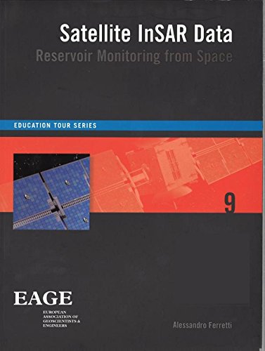
(Ebook) Satellite InSAR data : reservoir monitoring from space by Ferretti, Alessandro ISBN 9781680156959, 9789073834712, 1680156950, 9073834716

  • SKU: EBN-5428576
Zoomable Image
$ 32 $ 40 (-20%)

Status:

Available

4.8

28 reviews
Instant download (eBook) Satellite InSAR data : reservoir monitoring from space after payment.
Authors:Ferretti, Alessandro
Pages:159 pages.
Year:2014
Editon:1st
Publisher:EAGE Publications
Language:english
File Size:11.67 MB
Format:pdf
ISBNS:9781680156959, 9789073834712, 1680156950, 9073834716
Categories: Ebooks

Product desciption

(Ebook) Satellite InSAR data : reservoir monitoring from space by Ferretti, Alessandro ISBN 9781680156959, 9789073834712, 1680156950, 9073834716

This book is also used as course material for a short course, given by the author. For more information, click here Satellite radar data for surface deformation monitoring are gaining increasing attention, and not only within the oil and gas community. They provide a powerful tool for remotely measuring extremely small surface displacements over large areas and long periods of time, without requiring the installation of in-situ equipment. However, apart from remote sensing and radar specialists, only a relatively small number of geoscientists and engineers understand how a radar sensor orbiting the Earth at about 7 km/s from 700km above the Earth's surface can actually measure ground displacements of a fraction of a centimetre. This book provides a step-by-step introduction to satellite radar sensors, SAR imagery, SAR interferometry and advanced InSAR techniques. Rather than a tutorial for remote sensing specialists, the book starts from very basic concepts and explains in plain language the most important ideas related to SAR data processing and why geoscientists and engineers should take a vested interest in this new information source
*Free conversion of into popular formats such as PDF, DOCX, DOC, AZW, EPUB, and MOBI after payment.

Related Products