
Most ebook files are in PDF format, so you can easily read them using various software such as Foxit Reader or directly on the Google Chrome browser.
Some ebook files are released by publishers in other formats such as .awz, .mobi, .epub, .fb2, etc. You may need to install specific software to read these formats on mobile/PC, such as Calibre.
Please read the tutorial at this link. https://ebooknice.com/page/post?id=faq
We offer FREE conversion to the popular formats you request; however, this may take some time. Therefore, right after payment, please email us, and we will try to provide the service as quickly as possible.
For some exceptional file formats or broken links (if any), please refrain from opening any disputes. Instead, email us first, and we will try to assist within a maximum of 6 hours.
EbookNice Team

Status:
Available4.8
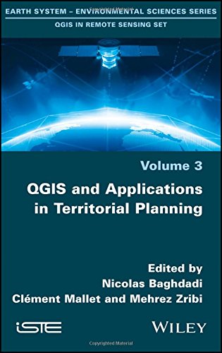
11 reviewsThese four volumes present innovative thematic applications implemented using the open source software QGIS. These are applications that use remote sensing over continental surfaces. The volumes detail applications of remote sensing over continental surfaces, with a first one discussing applications for agriculture. A second one presents applications for forest, a third presents applications for the continental hydrology, and finally the last volume details applications for environment and risk issues.