logo
Product categories

EbookNice.com

Most ebook files are in PDF format, so you can easily read them using various software such as Foxit Reader or directly on the Google Chrome browser.
Some ebook files are released by publishers in other formats such as .awz, .mobi, .epub, .fb2, etc. You may need to install specific software to read these formats on mobile/PC, such as Calibre.

Please read the tutorial at this link.  https://ebooknice.com/page/post?id=faq


We offer FREE conversion to the popular formats you request; however, this may take some time. Therefore, right after payment, please email us, and we will try to provide the service as quickly as possible.


For some exceptional file formats or broken links (if any), please refrain from opening any disputes. Instead, email us first, and we will try to assist within a maximum of 6 hours.

EbookNice Team
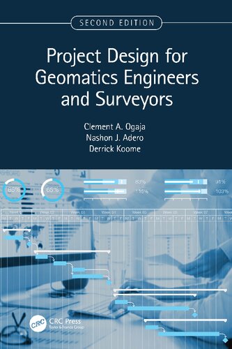
(Ebook) Project Design for Geomatics Engineers and Surveyors by Clement A. Ogaja, Nashon Juma Adero, Derrick Koome ISBN 9781003297147, 1003297145

  • SKU: EBN-47642446
Zoomable Image
$ 32 $ 40 (-20%)

Status:

Available

5.0

26 reviews
Instant download (eBook) Project Design for Geomatics Engineers and Surveyors after payment.
Authors:Clement A. Ogaja, Nashon Juma Adero, Derrick Koome
Pages:305 pages.
Year:2023
Editon:2
Publisher:CRC Press
Language:english
File Size:22.98 MB
Format:pdf
ISBNS:9781003297147, 1003297145
Categories: Ebooks

Product desciption

(Ebook) Project Design for Geomatics Engineers and Surveyors by Clement A. Ogaja, Nashon Juma Adero, Derrick Koome ISBN 9781003297147, 1003297145

""Project Design for Geomatics Engineers and Surveyors, Second Edition", continues to focus on the key components and aspects of project design for geomatics and land surveying projects with the goal of helping readers navigate the priority issues when planning new projects. The second edition includes new materials on surveying and UAV, and it is thoroughly updated to keep current with the recent technology and terminology. The two new chapters capture new developments in the rapidly emerging use of remote sensing and GIS in aerial surveys, mapping, and imaging for small-to-medium scale projects, as well as modern practices and experiences in engineering surveying"--
*Free conversion of into popular formats such as PDF, DOCX, DOC, AZW, EPUB, and MOBI after payment.

Related Products