logo
Product categories

EbookNice.com

Most ebook files are in PDF format, so you can easily read them using various software such as Foxit Reader or directly on the Google Chrome browser.
Some ebook files are released by publishers in other formats such as .awz, .mobi, .epub, .fb2, etc. You may need to install specific software to read these formats on mobile/PC, such as Calibre.

Please read the tutorial at this link.  https://ebooknice.com/page/post?id=faq


We offer FREE conversion to the popular formats you request; however, this may take some time. Therefore, right after payment, please email us, and we will try to provide the service as quickly as possible.


For some exceptional file formats or broken links (if any), please refrain from opening any disputes. Instead, email us first, and we will try to assist within a maximum of 6 hours.

EbookNice Team
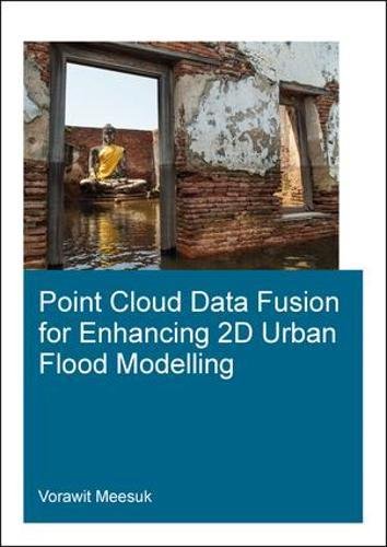
(Ebook) Point Cloud Data Fusion for Enhancing 2D Urban Flood Modelling by Vorawit Meesuk ISBN 9781138306172, 9781315141589, 9781351394222, 1138306177, 1315141582, 1351394223

  • SKU: EBN-6637702
Zoomable Image
$ 32 $ 40 (-20%)

Status:

Available

4.6

6 reviews
Instant download (eBook) Point Cloud Data Fusion for Enhancing 2D Urban Flood Modelling after payment.
Authors:Vorawit Meesuk
Pages:270 pages.
Year:2017
Editon:First edition
Publisher:CRC Press
Language:english
File Size:14.27 MB
Format:pdf
ISBNS:9781138306172, 9781315141589, 9781351394222, 1138306177, 1315141582, 1351394223
Categories: Ebooks

Product desciption

(Ebook) Point Cloud Data Fusion for Enhancing 2D Urban Flood Modelling by Vorawit Meesuk ISBN 9781138306172, 9781315141589, 9781351394222, 1138306177, 1315141582, 1351394223

Modelling urban flood dynamics requires proper handling of a number of complex urban features. Although high-resolution topographic data can nowadays be obtained from aerial LiDAR surveys, such top-view LiDAR data still have difficulties to represent some key components of urban features. Incorrectly representing features like underpasses through buildings or apparent blockage of flow by sky trains may lead to misrepresentation of actual flood propagation, which could easily result in inadequate flood-protection measures. Hence proper handling of urban features plays an important role in enhancing urban flood modelling.This research explores present-day capabilities of using computer-based environments to merge side-view Structure-from-Motion data acquisition with top-view LiDAR data to create a novel multi-source views (MSV) topographic representation for enhancing 2D model schematizations. A new MSV topographic data environment was explored for the city of Delft and compared with the conventional top-view LiDAR approach. Based on the experience gained, the effects of different topographic descriptions were explored for 2D urban flood models of (i) Kuala Lumpur, Malaysia for the 2003 flood event; and (ii) Ayutthaya, Thailand for the 2011 flood event.It was observed that adopting the new MSV data as the basis for describing the urban topography, the numerical simulations provide a more realistic representation of complex urban flood dynamics, thus enhancing conventional approaches and revealing specific features like flood watermarks identification and helping to develop improved flood-protection measures.
*Free conversion of into popular formats such as PDF, DOCX, DOC, AZW, EPUB, and MOBI after payment.

Related Products