logo
Product categories

EbookNice.com

Most ebook files are in PDF format, so you can easily read them using various software such as Foxit Reader or directly on the Google Chrome browser.
Some ebook files are released by publishers in other formats such as .awz, .mobi, .epub, .fb2, etc. You may need to install specific software to read these formats on mobile/PC, such as Calibre.

Please read the tutorial at this link.  https://ebooknice.com/page/post?id=faq


We offer FREE conversion to the popular formats you request; however, this may take some time. Therefore, right after payment, please email us, and we will try to provide the service as quickly as possible.


For some exceptional file formats or broken links (if any), please refrain from opening any disputes. Instead, email us first, and we will try to assist within a maximum of 6 hours.

EbookNice Team
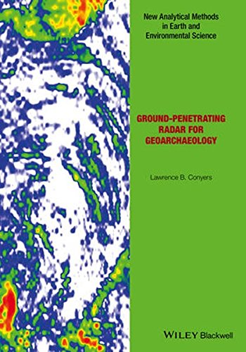
(Ebook) Ground-penetrating radar for geoarchaeology by Conyers, Lawrence B ISBN 9781118949948, 9781118949993, 9781118950005, 9781118950029, 1118949943, 1118949994, 1118950003, 111895002X

  • SKU: EBN-5397562
Zoomable Image
$ 32 $ 40 (-20%)

Status:

Available

5.0

34 reviews
Instant download (eBook) Ground-penetrating radar for geoarchaeology after payment.
Authors:Conyers, Lawrence B
Pages:147 pages.
Year:2016
Editon:1
Publisher:John Wiley & Sons
Language:english
File Size:32.46 MB
Format:pdf
ISBNS:9781118949948, 9781118949993, 9781118950005, 9781118950029, 1118949943, 1118949994, 1118950003, 111895002X
Categories: Ebooks

Product desciption

(Ebook) Ground-penetrating radar for geoarchaeology by Conyers, Lawrence B ISBN 9781118949948, 9781118949993, 9781118950005, 9781118950029, 1118949943, 1118949994, 1118950003, 111895002X

There has long been a strong collaboration between geologists and archaeologists, and the sub-field of geoarchaeology is well developed as a discipline in its own right. This book now bridges the gap between those fields and the geophysical technique of ground-penetrating radar (GPR), which allows for three-dimensional analysis of the ground to visualize both geological and archaeological materials. This method has the ability to produce images of the ground that display complex packages of materials, and allows researchers to integrate sedimentary units, soils and associated archaeological features in ways not possible using standard excavation techniques. The ability of GPR to visualize all these buried units can help archaeologists place ancient people within the landscapes and environments of their time, and understand their burial and preservation phenomena in three-dimensions. Readership Advanced students in archaeology and geoarchaeology, as well as practicing archaeologists with an interest in GPS techniques
*Free conversion of into popular formats such as PDF, DOCX, DOC, AZW, EPUB, and MOBI after payment.

Related Products