
Most ebook files are in PDF format, so you can easily read them using various software such as Foxit Reader or directly on the Google Chrome browser.
Some ebook files are released by publishers in other formats such as .awz, .mobi, .epub, .fb2, etc. You may need to install specific software to read these formats on mobile/PC, such as Calibre.
Please read the tutorial at this link. https://ebooknice.com/page/post?id=faq
We offer FREE conversion to the popular formats you request; however, this may take some time. Therefore, right after payment, please email us, and we will try to provide the service as quickly as possible.
For some exceptional file formats or broken links (if any), please refrain from opening any disputes. Instead, email us first, and we will try to assist within a maximum of 6 hours.
EbookNice Team

Status:
Available4.5
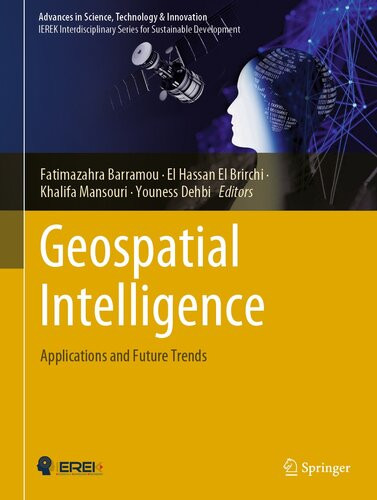
22 reviewsThis book explores cutting-edge methods combining geospatial technologies and artificial intelligence related to several fields such as smart farming, urban planning, geology, transportation, and 3D city models. It introduces techniques which range from machine and deep learning to remote sensing for geospatial data analysis.
The book consists of two main parts that include 13 chapters contributed by promising authors. The first part deals with the use of artificial intelligence techniques to improve spatial data analysis, whereas the second part focuses on the use of artificial intelligence with remote sensing in various fields. Throughout the chapters, the interest for the use of artificial intelligence is demonstrated for different geospatial technologies such as aerial imagery, drones, Lidar, satellite remote sensing, and more.
The work in this book is dedicated to the scientific community interested in the coupling of geospatial technologies and artificial intelligence and exploring the synergetic effects of both fields. It offers practitioners and researchers from academia, the industry and government information, experiences and research results about all aspects of specialized and interdisciplinary fields on geospatial intelligence.