logo
Product categories

EbookNice.com

Most ebook files are in PDF format, so you can easily read them using various software such as Foxit Reader or directly on the Google Chrome browser.
Some ebook files are released by publishers in other formats such as .awz, .mobi, .epub, .fb2, etc. You may need to install specific software to read these formats on mobile/PC, such as Calibre.

Please read the tutorial at this link.  https://ebooknice.com/page/post?id=faq


We offer FREE conversion to the popular formats you request; however, this may take some time. Therefore, right after payment, please email us, and we will try to provide the service as quickly as possible.


For some exceptional file formats or broken links (if any), please refrain from opening any disputes. Instead, email us first, and we will try to assist within a maximum of 6 hours.

EbookNice Team
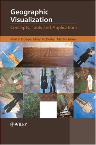
(Ebook) Geographic Visualization: Concepts, Tools and Applications by Martin Dodge, Mary McDerby, Martin Turner ISBN 9780470515112, 9780470987636, 9780470987643, 0470515112, 0470987642, 0470987634

  • SKU: EBN-2349410
Zoomable Image
$ 32 $ 40 (-20%)

Status:

Available

4.4

22 reviews
Instant download (eBook) Geographic Visualization: Concepts, Tools and Applications after payment.
Authors:Martin Dodge, Mary McDerby, Martin Turner
Pages:351 pages.
Year:2008
Editon:1
Publisher:Wiley
Language:english
File Size:30.23 MB
Format:pdf
ISBNS:9780470515112, 9780470987636, 9780470987643, 0470515112, 0470987642, 0470987634
Categories: Ebooks

Product desciption

(Ebook) Geographic Visualization: Concepts, Tools and Applications by Martin Dodge, Mary McDerby, Martin Turner ISBN 9780470515112, 9780470987636, 9780470987643, 0470515112, 0470987642, 0470987634

Geographic Visualization: Concepts, Tools and Applications is a ‘state-of-the-art’ review of the latest developments in the subject. It examines how new concepts, methods and tools can be creatively applied to solve problems relevant to a wide range of topics.  The text covers the impact of three-dimensional displays on user interaction along with the potentialities in animation and clearly explains how to create temporally sensitive visualizations. It also explores the potential for handling mobile data and representing uncertainty; as well as the role of participatory visualization systems and exploratory methods.Hallmark Features: An introduction to the diverse forms of geographic visualization which draws upon a number of theoretical perspectives and disciplines to provide an insightful commentary on new methods, techniques and tools.Richly illustrated in full colour throughout, including numerous relevant case studies and accessible discussions of important visualization concepts to enable clearer understanding for non-technical audiences.Chapters are written by leading scholars and researchers in a range of cognate fields, including, cartography, GIScience, architecture, art, urban planning and computer graphics with case studies drawn from Europe, North America and AustraliaThis book is an invaluable resource for all graduate students, researchers and professionals working in the geographic information sector, computer graphics and cartography.
*Free conversion of into popular formats such as PDF, DOCX, DOC, AZW, EPUB, and MOBI after payment.

Related Products