logo
Product categories

EbookNice.com

Most ebook files are in PDF format, so you can easily read them using various software such as Foxit Reader or directly on the Google Chrome browser.
Some ebook files are released by publishers in other formats such as .awz, .mobi, .epub, .fb2, etc. You may need to install specific software to read these formats on mobile/PC, such as Calibre.

Please read the tutorial at this link.  https://ebooknice.com/page/post?id=faq


We offer FREE conversion to the popular formats you request; however, this may take some time. Therefore, right after payment, please email us, and we will try to provide the service as quickly as possible.


For some exceptional file formats or broken links (if any), please refrain from opening any disputes. Instead, email us first, and we will try to assist within a maximum of 6 hours.

EbookNice Team
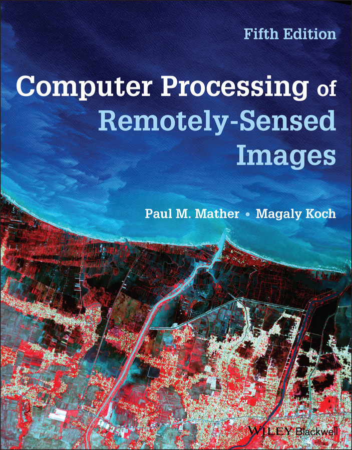
(Ebook) Computer Processing of Remotely-Sensed Images , 5th Edition by Paul M. Mather & Magaly M. Koch

  • SKU: EBN-56328256
Zoomable Image
$ 32 $ 40 (-20%)

Status:

Available

5.0

10 reviews
Instant download (eBook) Computer Processing of Remotely-Sensed Images , 5th Edition after payment.
Authors:Paul M. Mather & Magaly M. Koch
Pages:892 pages.
Year:2022
Editon:5
Language:english
File Size:40.17 MB
Format:epub
Categories: Ebooks

Product desciption

(Ebook) Computer Processing of Remotely-Sensed Images , 5th Edition by Paul M. Mather & Magaly M. Koch

nvironmental remote sensing is the measurement, from a distance, of the spectral features of the Earth's surface and atmosphere. These measurements are normally made by instruments carried by satellites or aircraft, and are used to infer the nature and characteristics of the land or sea surface, or of the atmosphere, at the time of observation. The successful application of remote sensing techniques to particular problems, whether they be geographical, geological, oceanographic or cartographic, requires knowledge and skills drawn from several areas of science. An understanding of the way in which remotely sensed data are acquired by a sensor mounted onboard an aircraft or satellite needs a basic knowledge of the physics involved, in particular environmental physics and optics. The use of remotely sensed data, which are inherently digital, demands a degree of mathematical and statistical skill plus some familiarity with digital computers and their operation. A high level of competence in the field in which the remotely sensed data are to be used is essential if full use of the information contained in those data is to be made. The term ‘remote sensing specialist’ is thus, apparently, a contradiction in terms for a remote sensing scientist must possess a broad range of expertise across a variety of disciplines. While it is, of course, possible to specialise in some particular aspect of remote sensing, it is difficult to cut oneself off from the essential multidisciplinary nature of the subject.
*Free conversion of into popular formats such as PDF, DOCX, DOC, AZW, EPUB, and MOBI after payment.

Related Products