
Most ebook files are in PDF format, so you can easily read them using various software such as Foxit Reader or directly on the Google Chrome browser.
Some ebook files are released by publishers in other formats such as .awz, .mobi, .epub, .fb2, etc. You may need to install specific software to read these formats on mobile/PC, such as Calibre.
Please read the tutorial at this link. https://ebooknice.com/page/post?id=faq
We offer FREE conversion to the popular formats you request; however, this may take some time. Therefore, right after payment, please email us, and we will try to provide the service as quickly as possible.
For some exceptional file formats or broken links (if any), please refrain from opening any disputes. Instead, email us first, and we will try to assist within a maximum of 6 hours.
EbookNice Team

Status:
Available0.0
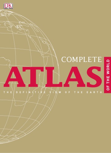
0 reviews(Ebook) Complete Atlas of the World 2nd Edition by Paul Eames, Tony Chambers - Ebook PDF Instant Download/Delivery: 9780756689728,0756689724
Full download (Ebook) Complete Atlas of the World 2nd Edition after payment

Product details:
ISBN 10: 0756689724
ISBN 13: 9780756689728
Author: Paul Eames, Tony Chambers
(Ebook) Complete Atlas of the World 2nd Edition Table of contents:
The Solar System
The Physical World
Structure of the Earth
Shaping the Landscape
The World’s Oceans
The Global Climate
Life on Earth
Man’s Impact on the Environment
Population & Settlement
Languages & Religion
World Health
Water Resources
The Economic System
Global Communication
The Political World
States, Borders, Conflicts & Disputes
Time Zones
North America
North America Political
North America Physical
North America Satellite Image
Canada
Northern Canada
Western Canada
Southwest Canada
Eastern Canada
United States of America
US: NE States & Southeast Canada
US: Boston to Washington DC
US: Eastern States
US: Southeast States
US: Texas
US: Great Lakes States
US: Great Plains States
US: Northwest States
US: Southwest States
US: California
US: Alaska & Hawaii
Northern Mexico
Southern Mexico
Central America
The Caribbean
North American City Plans
South America
South America Political
South America Physical
South America Satellite Image
Northern South America
Western South America Including Galapagos
Amazon Basin
Eastern Brazil
Southeast Brazil
Central South America
River Plate
Southern Argentina & Chile
Central Chile and Argentina
South America City Plans
Africa
Africa Political
Africa Physical
Africa Satellite Image
Northeast Africa
Northwest Africa
West Africa Including Cape Verde
Central Africa
East Africa
Southern Africa Including Madagascar and Comoros
South Africa
Africa City Plans
Europe
Europe Political
Europe Physical
Europe Satellite Image
Scandinavia, Finland & Iceland
Southern Scandinavia
United Kingdom & Ireland
Northern Britain & Ireland
Southern Britain
The Low Countries
France
Northern France
Southern France & the Pyrenees
The Iberian Peninsula
Southern Iberia
The Italian Peninsula
The Alpine States & Northern Italy
Germany
Rhineland & Hamburg
Central Europe
Southeast Europe
Greece
Romania, Moldova & Ukraine
The Baltic States & Belarus
Russian Federation
Northern European Russia
Southern European Russia
The Mediterranean
European City Plans
Asia
Asia Political
Asia Physical
Asia Satellite Image
Southwest Asia
Turkey & the Caucasus
The Near East
Israel & Lebanon
The Arabian Peninsula
Iran
Central & South Asia
Kazakhstan
Central Asia
Afghanistan & Pakistan
Northern India, Nepal & Bangladesh
Southern India & Sri Lanka
East Asia
Western China
Southeast China
Yangtze River Valley
Yellow River Valley
Northeast China
Korea & Japan
Southern Japan
Northern Japan
Southeast Asia
Mainland Southeast Asia
Western Maritime Southeast Asia
Eastern Maritime Southeast Asia
Philippines
Asian City Plans
Australasia & Oceania
Australasia & Oceania Political
Australasia & Oceania Physical
Australasia & Oceania Satellite Image
Australia
Southeast Australia
New Zealand
Papua New Guinea & Melanesia
Micronesia
Polynesia
Oceans & Polar Regions
Pacific Ocean
Indian Ocean
Atlantic Ocean
Antarctica
The Arctic
Appendices
Geographical Comparisons
Countries of the World
Geographical Names
Index
People also search for (Ebook) Complete Atlas of the World 2nd Edition:
complete atlas of the world 3rd edition
complete atlas of the world 4th edition
complete atlas of the world 5th edition
complete atlas of the world 3rd edition pdf
geographica the complete illustrated atlas of the world
Tags: Paul Eames, Tony Chambers, Complete Atlas, World