logo
Product categories

EbookNice.com

Most ebook files are in PDF format, so you can easily read them using various software such as Foxit Reader or directly on the Google Chrome browser.
Some ebook files are released by publishers in other formats such as .awz, .mobi, .epub, .fb2, etc. You may need to install specific software to read these formats on mobile/PC, such as Calibre.

Please read the tutorial at this link.  https://ebooknice.com/page/post?id=faq


We offer FREE conversion to the popular formats you request; however, this may take some time. Therefore, right after payment, please email us, and we will try to provide the service as quickly as possible.


For some exceptional file formats or broken links (if any), please refrain from opening any disputes. Instead, email us first, and we will try to assist within a maximum of 6 hours.

EbookNice Team
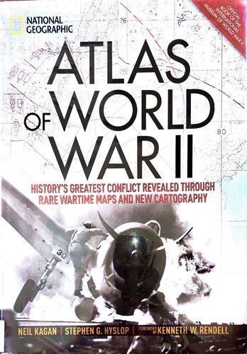
(Ebook) Atlas of World War II: History's Greatest Conflict Revealed Through Rare Wartime Maps and New Cartography by Stephen G. Hyslop , Neil kagan, Kenneth W. Rendell ISBN 9781426219719, 1426219717

  • SKU: EBN-51879662
Zoomable Image
$ 32 $ 40 (-20%)

Status:

Available

0.0

0 reviews
Instant download (eBook) Atlas of World War II: History's Greatest Conflict Revealed Through Rare Wartime Maps and New Cartography after payment.
Authors:Stephen G. Hyslop , Neil kagan, Kenneth W. Rendell
Pages:256 pages.
Year:2018
Editon:1
Publisher:National Geographic
Language:english
File Size:452.2 MB
Format:pdf
ISBNS:9781426219719, 1426219717
Categories: Ebooks

Product desciption

(Ebook) Atlas of World War II: History's Greatest Conflict Revealed Through Rare Wartime Maps and New Cartography by Stephen G. Hyslop , Neil kagan, Kenneth W. Rendell ISBN 9781426219719, 1426219717

This magnificent atlas delves into the cartographic history of WWII: naval, land, and aerial attacks from the invasion of Poland to Pearl Harbor and the Battle of the Bulge. Rare maps include a detailed Germany & Approaches map used by Allied forces in the final stages of the war, full large-scale wartime maps of the world used by President Roosevelt, and crucial Pacific theater maps used by B-17 pilots.Satellite data renders terrain as never before seen, highlighting countries and continents in stunning detail to include the towns, cities, provinces and transportation roads for a pinpoint-accurate depiction of army movements and alliances. Gripping wartime stories from these hallowed fields of battle, along with photographs, sketches, confidential documents, and artifacts color the rest of this timeless and informative book.
*Free conversion of into popular formats such as PDF, DOCX, DOC, AZW, EPUB, and MOBI after payment.

Related Products